
Sindewahi topographic map
Interactive map
Click on the map to display elevation.
About this map
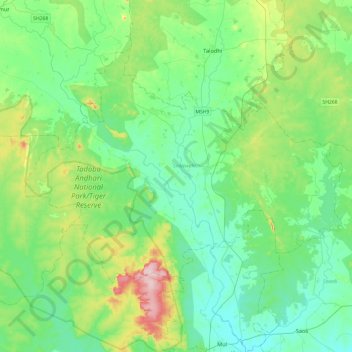
Name: Sindewahi topographic map, elevation, terrain.
Location: Sindewahi, Chandrapur, Maharashtra, India (20.14500 79.40912 20.41616 79.84112)
Average elevation: 231 m
Minimum elevation: 181 m
Maximum elevation: 403 m