
Tkibuli topographic map
Interactive map
Click on the map to display elevation.
About this map
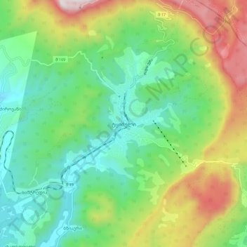
Name: Tkibuli topographic map, elevation, terrain.
Location: Tkibuli, ტყიბულის მუნიციპალიტეტი, Iméréthie, Géorgie (42.30772 42.95808 42.38772 43.03808)
Average elevation: 826 m
Minimum elevation: 488 m
Maximum elevation: 1,508 m