
Chesterfield No. 261 topographic map
Interactive map
Click on the map to display elevation.
About this map
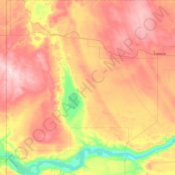
Name: Chesterfield No. 261 topographic map, elevation, terrain.
Location: Chesterfield No. 261, Saskatchewan, Canadá (50.91818 -110.00526 51.35841 -109.35309)
Average elevation: 689 m
Minimum elevation: 568 m
Maximum elevation: 804 m