
Whitefish Township topographic map
Interactive map
Click on the map to display elevation.
About this map
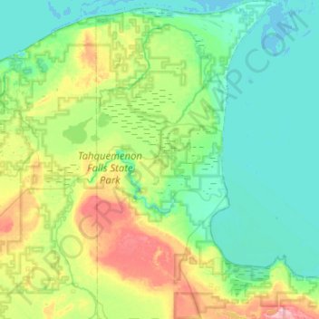
Name: Whitefish Township topographic map, elevation, terrain.
Average elevation: 212 m
Minimum elevation: 176 m
Maximum elevation: 330 m
Other topographic maps
Click on a map to view its topography, its elevation and its terrain.
Pickford Township
Vereinigte Staaten von Amerika > Michigan > Chippewa County
Pickford Township, Chippewa County, Michigan, Vereinigte Staaten von Amerika
Average elevation: 206 m