
Thank you for supporting this site ❤️
Make a donation
Make a donation
Möringen topographic map
Click on the map to display elevation.
Thank you for supporting this site ❤️
Make a donation
Make a donation
About this map
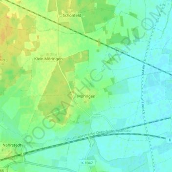
Name: Möringen topographic map, elevation, terrain.
Location: Möringen, Stendal, Sachsen-Anhalt, Deutschland (52.57425 11.69933 52.61784 11.78124)
Average elevation: 41 m
Minimum elevation: 32 m
Maximum elevation: 57 m
Thank you for supporting this site ❤️
Make a donation
Make a donation