
Railway Station topographic map
Interactive map
Click on the map to display elevation.
About this map
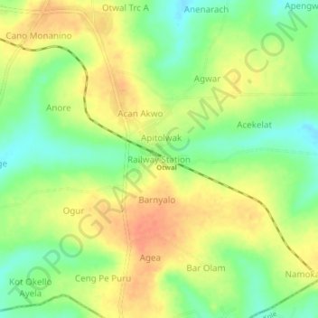
Name: Railway Station topographic map, elevation, terrain.
Location: Railway Station, Oyam, Northern Region, Uganda (2.47313 32.69783 2.51313 32.73783)
Average elevation: 1,108 m
Minimum elevation: 1,084 m
Maximum elevation: 1,128 m
Other topographic maps
Click on a map to view its topography, its elevation and its terrain.