
Ovifat topographic map
Interactive map
Click on the map to display elevation.
About this map
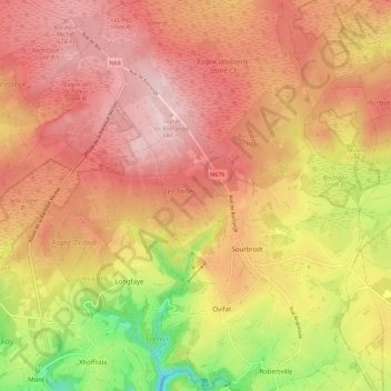
Name: Ovifat topographic map, elevation, terrain.
Average elevation: 591 m
Minimum elevation: 414 m
Maximum elevation: 701 m
Other topographic maps
Click on a map to view its topography, its elevation and its terrain.
Signal de Botrange
Belgien > Lüttich > Verviers > In der Bivelt
Signal de Botrange, In der Bivelt, Weismes, Verviers, Lüttich, Wallonien, Belgien
Average elevation: 658 m