
Tulsishyam topographic map
Click on the map to display elevation.
About this map
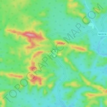
Name: Tulsishyam topographic map, elevation, terrain.
Location: Tulsishyam, Una Taluka, Gir Somnath District, Gujarat, India (21.03131 71.00501 21.07131 71.04501)
Average elevation: 194 m
Minimum elevation: 144 m
Maximum elevation: 302 m