
East Fairview topographic map
Interactive map
Click on the map to display elevation.
About this map
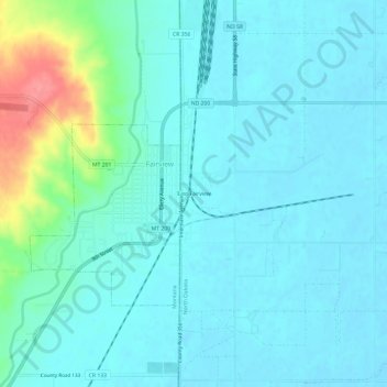
Name: East Fairview topographic map, elevation, terrain.
Average elevation: 590 m
Minimum elevation: 575 m
Maximum elevation: 659 m
Other topographic maps
Click on a map to view its topography, its elevation and its terrain.
McKenzie County
United States > North Dakota > McKenzie County
McKenzie County, North Dakota, United States
Average elevation: 681 m