
Culcheth topographic map
Interactive map
Click on the map to display elevation.
About this map
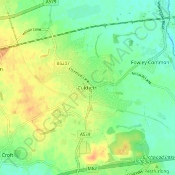
Name: Culcheth topographic map, elevation, terrain.
Location: Culcheth, Warrington, Engeland, WA3 4EE, Verenigd Koninkrijk (53.43193 -2.54254 53.47193 -2.50254)
Average elevation: 28 m
Minimum elevation: 13 m
Maximum elevation: 46 m