
Irish Lake topographic map
Interactive map
Click on the map to display elevation.
About this map
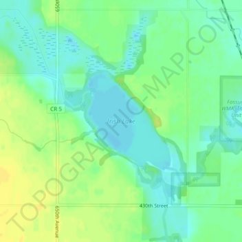
Name: Irish Lake topographic map, elevation, terrain.
Location: Irish Lake, Watonwan County, Minnesota, United States (43.86666 -94.77488 43.87773 -94.76178)
Average elevation: 368 m
Minimum elevation: 358 m
Maximum elevation: 381 m
Other topographic maps
Click on a map to view its topography, its elevation and its terrain.
St. James
United States > Minnesota > Watonwan County
St. James, Watonwan County, Minnesota, 56081, United States
Average elevation: 328 m