
Thank you for supporting this site ❤️
Make a donation
Make a donation
Marsala topographic map
Click on the map to display elevation.
Thank you for supporting this site ❤️
Make a donation
Make a donation
Marsala
The archaeological area of Marsala has been investigated both through excavations and topographic studies. Lilybaeum, the ancient town, took up a rectangular area on Capo Boeo, a low and rocky promontory sloping gently down towards the sea. The urban layout of the town can be dated back to the 2nd century BC with modern-day Viale Vittorio Veneto the Decumanus Maximus and Viale Cesare Battisti the Cardo Maximus.
Thank you for supporting this site ❤️
Make a donation
Make a donation
About this map
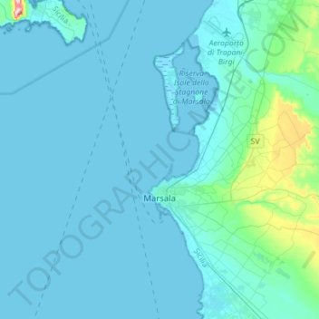
Name: Marsala topographic map, elevation, terrain.
Location: Marsala, Trapani, Sicily, 91025, Italy (37.71391 12.42425 37.93445 12.69461)
Average elevation: 22 m
Minimum elevation: -2 m
Maximum elevation: 290 m
Thank you for supporting this site ❤️
Make a donation
Make a donation
Other topographic maps
Click on a map to view its topography, its elevation and its terrain.
Thank you for supporting this site ❤️
Make a donation
Make a donation
Thank you for supporting this site ❤️
Make a donation
Make a donation