
Rangeley topographic map
Interactive map
Click on the map to display elevation.
About this map
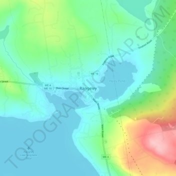
Name: Rangeley topographic map, elevation, terrain.
Location: Rangeley, Franklin County, Maine, 04970, United States (44.94674 -70.66346 44.98674 -70.62346)
Average elevation: 501 m
Minimum elevation: 460 m
Maximum elevation: 615 m