
Cheyenne topographic map
Interactive map
Click on the map to display elevation.
About this map
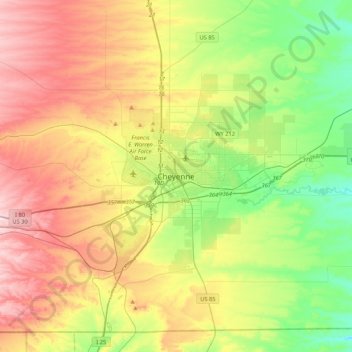
Name: Cheyenne topographic map, elevation, terrain.
Location: Cheyenne, Laramie County, Wyoming, 82002, United States (40.97998 -104.98025 41.29998 -104.66025)
Average elevation: 1,891 m
Minimum elevation: 1,744 m
Maximum elevation: 2,091 m