
Staverton topographic map
Interactive map
Click on the map to display elevation.
About this map
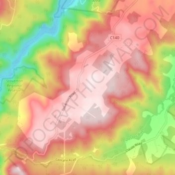
Name: Staverton topographic map, elevation, terrain.
Location: Staverton, Kentish, Tasmania, Australia (-41.47887 146.13606 -41.42693 146.21215)
Average elevation: 408 m
Minimum elevation: 117 m
Maximum elevation: 599 m