
Trbovlje topographic map
Interactive map
Click on the map to display elevation.
About this map
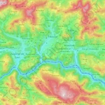
Name: Trbovlje topographic map, elevation, terrain.
Location: Trbovlje, 1420, Slovenië (46.07689 14.98049 46.19744 15.10937)
Average elevation: 578 m
Minimum elevation: 195 m
Maximum elevation: 1,212 m