
Holguera topographic map
Interactive map
Click on the map to display elevation.
About this map
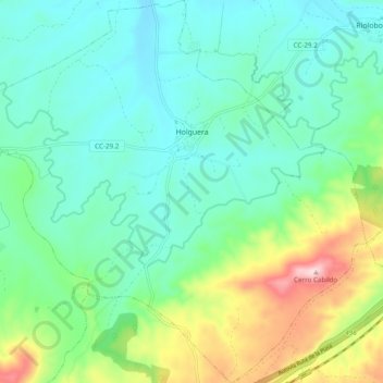
Name: Holguera topographic map, elevation, terrain.
Location: Holguera, Vegas del Alagón, Cáceres, Extremadura, España (39.85137 -6.40058 39.92561 -6.30529)
Average elevation: 332 m
Minimum elevation: 249 m
Maximum elevation: 571 m