
Rothmühle topographic map
Interactive map
Click on the map to display elevation.
About this map
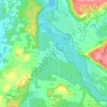
Name: Rothmühle topographic map, elevation, terrain.
Average elevation: 635 m
Minimum elevation: 600 m
Maximum elevation: 712 m
Other topographic maps
Click on a map to view its topography, its elevation and its terrain.
Grafing
Deutschland > Bayern > Landkreis Bad Tölz-Wolfratshausen > Königsdorf
Grafing, Königsdorf, Landkreis Bad Tölz-Wolfratshausen, Bayern, 82549, Deutschland
Average elevation: 633 m