
Thank you for supporting this site ❤️
Make a donation
Make a donation
Damanhur topographic map
Click on the map to display elevation.
Thank you for supporting this site ❤️
Make a donation
Make a donation
About this map
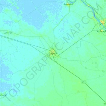
Name: Damanhur topographic map, elevation, terrain.
Location: Damanhur, The Lake, 22511, Egypt (30.87750 30.31106 31.19750 30.63106)
Average elevation: 2 m
Minimum elevation: -3 m
Maximum elevation: 15 m
Thank you for supporting this site ❤️
Make a donation
Make a donation