
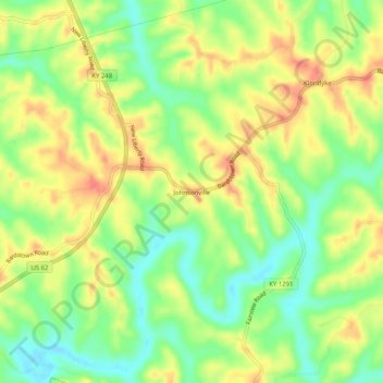
Johnsonville topographic map
Interactive map
Click on the map to display elevation.
About this map
Name: Johnsonville topographic map, elevation, terrain.
Location: Johnsonville, Anderson County, Kentucky, USA (37.91507 -85.12690 37.95507 -85.08690)
Average elevation: 228 m
Minimum elevation: 198 m
Maximum elevation: 258 m