
Rushton topographic map
Interactive map
Click on the map to display elevation.
About this map
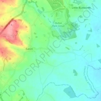
Name: Rushton topographic map, elevation, terrain.
Location: Rushton, Cheshire West and Chester, Inglaterra, Reino Unido (53.14446 -2.66166 53.18592 -2.58871)
Average elevation: 67 m
Minimum elevation: 40 m
Maximum elevation: 145 m