
Thank you for supporting this site ❤️
Make a donation
Make a donation
Pemberville topographic map
Click on the map to display elevation.
Thank you for supporting this site ❤️
Make a donation
Make a donation
About this map
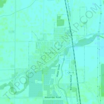
Name: Pemberville topographic map, elevation, terrain.
Location: Pemberville, Wood County, Ohio, United States (41.39935 -83.47486 41.42276 -83.43939)
Average elevation: 200 m
Minimum elevation: 197 m
Maximum elevation: 205 m
Thank you for supporting this site ❤️
Make a donation
Make a donation
Other topographic maps
Click on a map to view its topography, its elevation and its terrain.