
Lierde topographic map
Interactive map
Click on the map to display elevation.
About this map
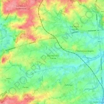
Name: Lierde topographic map, elevation, terrain.
Location: Lierde, Oudenaarde, Ostflandern, Flandern, Belgien (50.77473 3.78360 50.83823 3.88228)
Average elevation: 51 m
Minimum elevation: 20 m
Maximum elevation: 99 m