
吉呷镇 topographic map
Interactive map
Click on the map to display elevation.
About this map
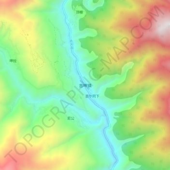
Name: 吉呷镇 topographic map, elevation, terrain.
Location: 吉呷镇, 稻城县, 甘孜藏族自治州, 四川省, 627700, 中国 (28.07046 100.22157 28.15046 100.30157)
Average elevation: 2,779 m
Minimum elevation: 1,998 m
Maximum elevation: 4,064 m
Other topographic maps
Click on a map to view its topography, its elevation and its terrain.