
Vries topographic map
Interactive map
Click on the map to display elevation.
About this map
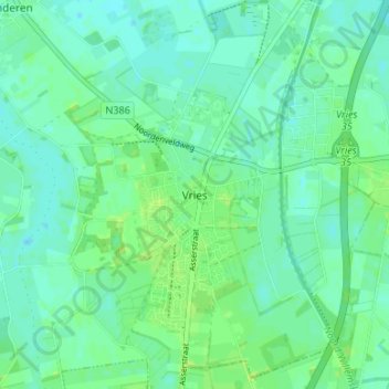
Name: Vries topographic map, elevation, terrain.
Location: Vries, Tynaarlo, Drente, Niederlande, 9481, Niederlande (53.05672 6.55793 53.09672 6.59793)
Average elevation: 8 m
Minimum elevation: 3 m
Maximum elevation: 13 m