
Make a donation
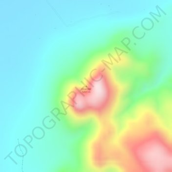
Otse Hill topographic map
Click on the map to display elevation.
Make a donation
Otse Hill
Otse Hill is a peak often cited as the highest point of Botswana, with a reported altitude of 1,491 metres (4,891 feet). It is located in the village of Otse, South-East District. Its highest cell on SRTM data is 1,486 meters - 4875 feet. The 1999 Department of Surveys and Mapping (Gaborone) 1:50,000 scale topographic map shows a "trigonometrical station" on the Otse Peak summit with an elevation of 1,491 meters - 4892 feet.
Make a donation
About this map
Name: Otse Hill topographic map, elevation, terrain.
Location: Otse Hill, South-East District, Botswana (-25.00752 25.71331 -25.00742 25.71341)
Average elevation: 1,212 m
Minimum elevation: 1,087 m
Maximum elevation: 1,489 m
Make a donation
Other topographic maps
Click on a map to view its topography, its elevation and its terrain.