
الشافعي الشريف topographic map
Interactive map
Click on the map to display elevation.
About this map
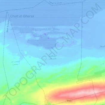
Name: الشافعي الشريف topographic map, elevation, terrain.
Location: الشافعي الشريف, معتمدية نفطة, Tozeur, Tunisia (33.87221 7.75177 34.13323 8.01614)
Average elevation: 15 m
Minimum elevation: -29 m
Maximum elevation: 186 m