
Calto topographic map
Interactive map
Click on the map to display elevation.
About this map
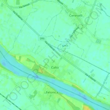
Name: Calto topographic map, elevation, terrain.
Location: Calto, Rovigo, Veneto, Italië (44.97334 11.32557 45.02024 11.39123)
Average elevation: 9 m
Minimum elevation: 3 m
Maximum elevation: 22 m
Other topographic maps
Click on a map to view its topography, its elevation and its terrain.
Villaregia
Italië > Veneto > Rovigo > Porto Viro
Villaregia, Porto Viro, Rovigo, Veneto, 45019, Italië
Average elevation: -2 m