
栽杆山 topographic map
Interactive map
Click on the map to display elevation.
About this map
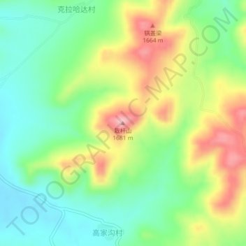
Name: 栽杆山 topographic map, elevation, terrain.
Location: 栽杆山, 张家口市, 河北省, 中国 (41.33392 115.23429 41.33402 115.23439)
Average elevation: 1,563 m
Minimum elevation: 1,492 m
Maximum elevation: 1,674 m
Other topographic maps
Click on a map to view its topography, its elevation and its terrain.