
Angole topographic map
Interactive map
Click on the map to display elevation.
About this map
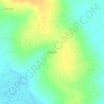
Name: Angole topographic map, elevation, terrain.
Location: Angole, Amuria, Eastern Region, Uganda (1.81333 33.76333 1.85333 33.80333)
Average elevation: 1,057 m
Minimum elevation: 1,044 m
Maximum elevation: 1,075 m