
Lykketoppen topographic map
Interactive map
Click on the map to display elevation.
About this map
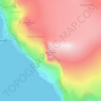
Name: Lykketoppen topographic map, elevation, terrain.
Location: Lykketoppen, Bouvet Island, Norway (-54.43618 3.31373 -54.43608 3.31383)
Average elevation: 359 m
Minimum elevation: 0 m
Maximum elevation: 717 m
Other topographic maps
Click on a map to view its topography, its elevation and its terrain.