
Beni Brahim ⴰⵝ ⴱⵔⴰⵁⵎ آث براهم topographic map
Interactive map
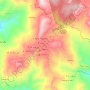
Click on the map to display elevation.
About this map
Name: Beni Brahim ⴰⵝ ⴱⵔⴰⵁⵎ آث براهم topographic map, elevation, terrain.
Average elevation: 1,020 m
Minimum elevation: 699 m
Maximum elevation: 1,240 m