
Steckborn topographic map
Interactive map
Click on the map to display elevation.
About this map
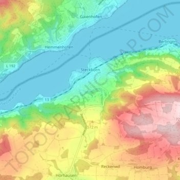
Name: Steckborn topographic map, elevation, terrain.
Location: Steckborn, Bezirk Frauenfeld, Thurgau, 8266, Schweiz (47.64639 8.94767 47.67134 9.03222)
Average elevation: 511 m
Minimum elevation: 391 m
Maximum elevation: 718 m