
Dürwiß topographic map
Interactive map
Click on the map to display elevation.
About this map
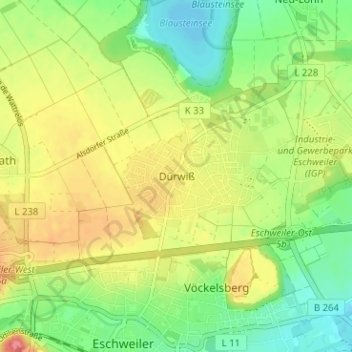
Name: Dürwiß topographic map, elevation, terrain.
Average elevation: 153 m
Minimum elevation: 122 m
Maximum elevation: 190 m
Dürwiß ist ein nördlicher Stadtteil von Eschweiler in Nordrhein-Westfalen. Die Höhe beträgt im Schnitt 156 m ü. NHN. Nördlich von Dürwiß liegt der Blausteinsee.