
Thank you for supporting this site ❤️
Make a donation
Make a donation
Basso topographic map
Click on the map to display elevation.
Thank you for supporting this site ❤️
Make a donation
Make a donation
About this map
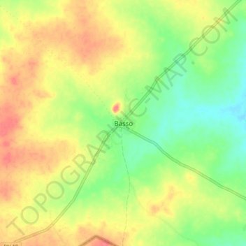
Name: Basso topographic map, elevation, terrain.
Location: Basso, Kalalé, Borgou Department, Benin (10.45830 3.65258 10.53830 3.73258)
Average elevation: 324 m
Minimum elevation: 294 m
Maximum elevation: 352 m
Thank you for supporting this site ❤️
Make a donation
Make a donation
Other topographic maps
Click on a map to view its topography, its elevation and its terrain.