
Ahaus topographic map
Interactive map
Click on the map to display elevation.
About this map
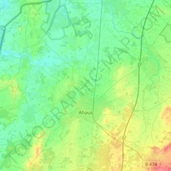
Name: Ahaus topographic map, elevation, terrain.
Location: Ahaus, Kreis Borken, Nordrhein-Westfalen, 48683, Deutschland (52.02106 6.86694 52.18113 7.06730)
Average elevation: 53 m
Minimum elevation: 36 m
Maximum elevation: 95 m