
Thank you for supporting this site ❤️
Make a donation
Make a donation
Singoor topographic map
Click on the map to display elevation.
Thank you for supporting this site ❤️
Make a donation
Make a donation
About this map
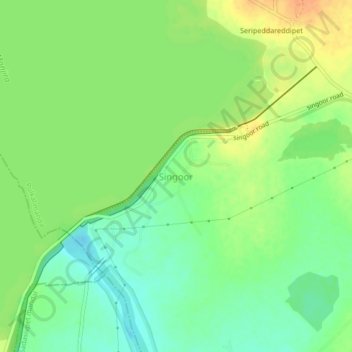
Name: Singoor topographic map, elevation, terrain.
Location: Singoor, Pulkal mandal, Sangareddy, Telangana, 502246, India (17.73607 77.92068 17.77607 77.96068)
Average elevation: 519 m
Minimum elevation: 503 m
Maximum elevation: 537 m
Thank you for supporting this site ❤️
Make a donation
Make a donation