
Dehiowita topographic map
Interactive map
Click on the map to display elevation.
About this map
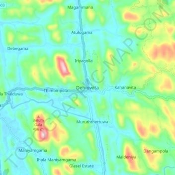
Name: Dehiowita topographic map, elevation, terrain.
Location: Dehiowita, Kegalle District, Sabaragamuwa Province, Sri Lanka (6.92656 80.22592 7.00656 80.30592)
Average elevation: 111 m
Minimum elevation: 13 m
Maximum elevation: 397 m