
Abyei topographic map
Interactive map
Click on the map to display elevation.
About this map
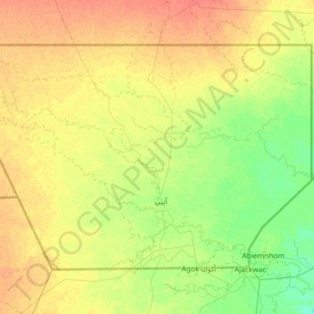
Name: Abyei topographic map, elevation, terrain.
Location: Abyei, West Kurdufan, Sudan (9.34387 27.83298 10.16667 29.00000)
Average elevation: 404 m
Minimum elevation: 393 m
Maximum elevation: 419 m