
Yercaud topographic map
Interactive map
Click on the map to display elevation.
Yercaud
Yercaud, also spelt Erkad, is a town and hill station in Salem District in Tamil Nadu, India. Located in Servarayan Hills in the Eastern Ghats, it is situated at an altitude of 1,515 m (4,970 ft).
About this map
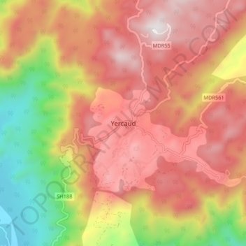
Name: Yercaud topographic map, elevation, terrain.
Location: Yercaud, Salem, Tamil Nadu, 636600, India (11.74521 78.16754 11.82521 78.24754)
Average elevation: 1,092 m
Minimum elevation: 358 m
Maximum elevation: 1,627 m