
Thank you for supporting this site ❤️
Make a donation
Make a donation
Masantol topographic map
Click on the map to display elevation.
Thank you for supporting this site ❤️
Make a donation
Make a donation
About this map
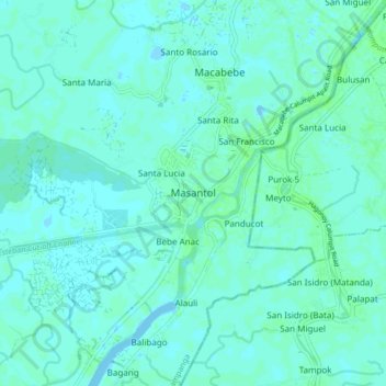
Name: Masantol topographic map, elevation, terrain.
Location: Masantol, Pampanga, Central Luzon, 2018, Philippines (14.84454 120.66982 14.92454 120.74982)
Average elevation: 2 m
Minimum elevation: -2 m
Maximum elevation: 6 m
Thank you for supporting this site ❤️
Make a donation
Make a donation