
Redruth topographic map
Click on the map to display elevation.
About this map
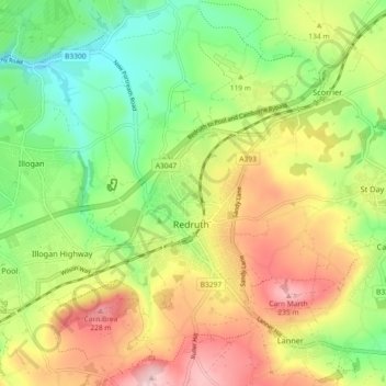
Name: Redruth topographic map, elevation, terrain.
Location: Redruth, Cornwall, England, United Kingdom (50.20950 -5.26177 50.26778 -5.19647)
Average elevation: 119 m
Minimum elevation: 19 m
Maximum elevation: 245 m
Other topographic maps
Click on a map to view its topography, its elevation and its terrain.