
Thank you for supporting this site ❤️
Make a donation
Make a donation
Gangseo-gu topographic map
Click on the map to display elevation.
Thank you for supporting this site ❤️
Make a donation
Make a donation
About this map
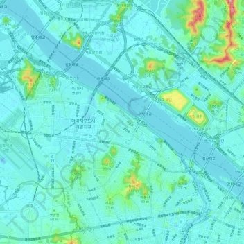
Name: Gangseo-gu topographic map, elevation, terrain.
Location: Gangseo-gu, Seoul, South Korea (37.52648 126.76443 37.60504 126.88079)
Average elevation: 22 m
Minimum elevation: -9 m
Maximum elevation: 179 m
Thank you for supporting this site ❤️
Make a donation
Make a donation