
Thank you for supporting this site ❤️
Make a donation
Make a donation
dalah topographic map
Click on the map to display elevation.
Thank you for supporting this site ❤️
Make a donation
Make a donation
About this map
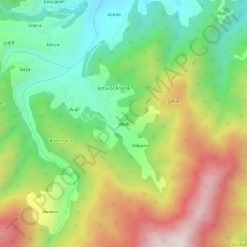
Name: dalah topographic map, elevation, terrain.
Location: dalah, Bhaderwah, Doda district, Jammu and Kashmir, India (33.00405 75.59388 33.04405 75.63388)
Average elevation: 1,823 m
Minimum elevation: 1,396 m
Maximum elevation: 2,426 m
Thank you for supporting this site ❤️
Make a donation
Make a donation