
Thank you for supporting this site ❤️
Make a donation
Make a donation
Brahman Koti topographic map
Click on the map to display elevation.
Thank you for supporting this site ❤️
Make a donation
Make a donation
About this map
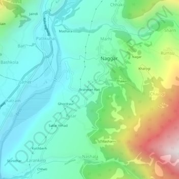
Name: Brahman Koti topographic map, elevation, terrain.
Location: Brahman Koti, Naggar, Kullu, Himachal Pradesh, 175130, India (32.08622 77.13885 32.12622 77.17885)
Average elevation: 1,774 m
Minimum elevation: 1,406 m
Maximum elevation: 2,768 m
Thank you for supporting this site ❤️
Make a donation
Make a donation