
Thank you for supporting this site ❤️
Make a donation
Make a donation
Mattishall topographic map
Click on the map to display elevation.
Thank you for supporting this site ❤️
Make a donation
Make a donation
About this map
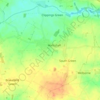
Name: Mattishall topographic map, elevation, terrain.
Location: Mattishall, Breckland District, Norfolk, England, United Kingdom (52.63973 0.99284 52.67570 1.05890)
Average elevation: 48 m
Minimum elevation: 29 m
Maximum elevation: 67 m
Thank you for supporting this site ❤️
Make a donation
Make a donation