

Maluru topographic map
Click on the map to display elevation.
Maluru
Malur is located at 13°00′N 77°56′E / 13.00°N 77.94°E / 13.00; 77.94. It has an average elevation of 910 metres (2,990 ft). It has a tropical wet and dry climate, similar to Bangalore. It has summer temperatures rarely crossing 37°C, and winter temperatures rarely falling below 15°C.
About this map
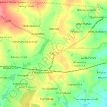
Name: Maluru topographic map, elevation, terrain.
Location: Maluru, Maluru taluk, Kolar, Karnataka, 562116, India (12.96587 77.89936 13.04587 77.97936)
Average elevation: 898 m
Minimum elevation: 862 m
Maximum elevation: 937 m