
Banjara topographic map
Interactive map
Click on the map to display elevation.
About this map
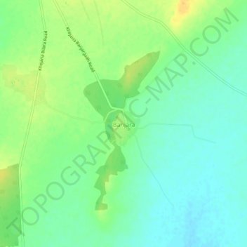
Name: Banjara topographic map, elevation, terrain.
Average elevation: 285 m
Minimum elevation: 273 m
Maximum elevation: 301 m
Other topographic maps
Click on a map to view its topography, its elevation and its terrain.
Chandelao
India > Rajasthan > Bilara Tehsil
Chandelao, Bilara Tehsil, Jodhpur(Rural) District, Rajasthan, India
Average elevation: 237 m