
Thank you for supporting this site ❤️
Make a donation
Make a donation
Farg Qaleh topographic map
Click on the map to display elevation.
Thank you for supporting this site ❤️
Make a donation
Make a donation
About this map
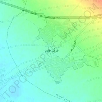
Name: Farg Qaleh topographic map, elevation, terrain.
Location: Farg Qaleh, بخش فرح دشت, Kashmar County, Razavi Khorasan, Iran (35.21298 58.55166 35.23045 58.57218)
Average elevation: 1,082 m
Minimum elevation: 1,069 m
Maximum elevation: 1,110 m
Thank you for supporting this site ❤️
Make a donation
Make a donation