
Thank you for supporting this site ❤️
Make a donation
Make a donation
Hudson topographic map
Click on the map to display elevation.
Thank you for supporting this site ❤️
Make a donation
Make a donation
About this map
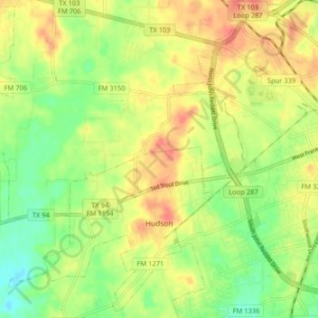
Name: Hudson topographic map, elevation, terrain.
Location: Hudson, Angelina County, Texas, United States (31.30356 -94.84514 31.36957 -94.76476)
Average elevation: 91 m
Minimum elevation: 63 m
Maximum elevation: 117 m
Thank you for supporting this site ❤️
Make a donation
Make a donation